Walking the Red Lines: Spain's GR Trails and the Slow Art of Crossing a Country on Foot
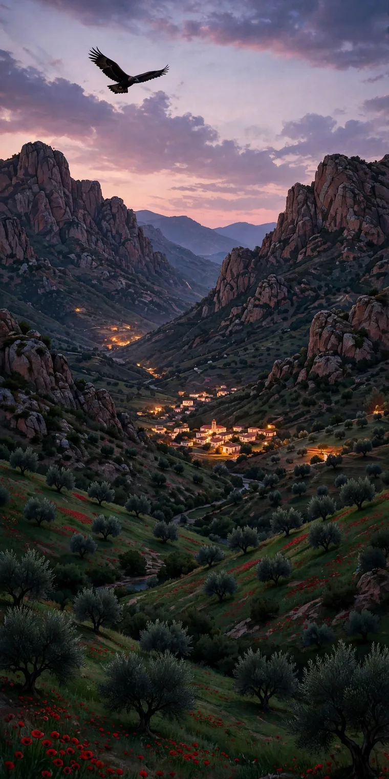
Open a good map of Spain and you will see them: thin red lines, numbered, running over ridges and through villages, out of one province and into the next, sometimes not stopping for a thousand kilometres. They are the senderos de Gran Recorrido — the GR routes — marked on the ground with two horizontal stripes, white over red, painted on rocks, trees, walls and fence posts from the Pyrenees to Andalusia. Follow the paint and you can walk across Spain without a car, a tour or, on the best days, much of a plan beyond the next village and the next fountain.
Spain has tens of thousands of kilometres of waymarked paths counting the shorter PR and local SL trails alongside the GR network. But the long red lines are special. They are not wilderness trails in the North American sense — they are a stitched-together inheritance of drove roads, pilgrim paths, mule tracks and shepherds' shortcuts, formalised into a network that reveals the country at walking pace, which is the pace it was built for.
The Routes That Define the Network
Every GR has a character, and a handful have become classics.
The GR-11, the Transpirenaica, is the mountain epic: roughly 840 kilometres from the Mediterranean at Cap de Creus in Catalonia to the Atlantic at Hondarribia in the Basque Country, staying high in the Pyrenees, crossing Andorra, Aragón and Navarre, and passing through Ordesa and Aigüestortes national parks. Most walkers take six to seven weeks. It is wilder and quieter than its French counterpart, the GR-10, on the northern slope, and it demands respect — snow can linger into July, and afternoon storms are a daily calculation in summer.
The GR-7 is the great north-south journey, part of the European E4 route. It enters Spain near Andorra, winds through Catalonia and Valencia, crosses Andalusia through the Alpujarras and Ronda, and ends at Tarifa — some 2,500 kilometres in its full Spanish conception, a walk through almost every landscape the peninsula owns, from alpine meadow to olive grove to the shore opposite Africa.
The GR-221, the Ruta de Pedra en Sec, crosses Mallorca's Serra de Tramuntana on dry-stone paths built by generations of Mallorcan labourers, sleeping in mountain refuges above the sea. The GR-131 does something no other Spanish route does: it hops an archipelago, linking trails across all seven Canary Islands, from Lanzarote's volcanic badlands to the laurel forests of La Gomera and the caldera rim of La Palma, with ferries as part of the walk. In the north, the GR- footpaths around the Picos de Europa and along the Cantabrian coast offer green, wet, Atlantic Spain — a corrective to every cliché about a dry country.
And watching over all of them, culturally, is the Camino de Santiago (GR-65) — a pilgrimage first, but the route that taught Spain what a long-distance trail does to villages when hundreds of thousands follow the same line across a country.
How a GR Day Actually Works
The rhythm of a Spanish long trail is set by villages, not campsites. Most GR walkers sleep in small hotels, albergues or rural houses, eat in bars, and resupply in shops that still close for lunch. A typical day starts early — in summer, very early, to beat the heat — with coffee at a bar counter alongside farmers starting their own days. If you are wise, you time your arrival to eat the menú del día at midday rather than a picnic in 35-degree heat.
This is the network's genius and its vulnerability. Because GR routes pass through lived-in country, they keep money in villages losing population to the cities — the España vaciada, emptied Spain. A marked trail brings walkers who need beds and meals to places tour buses pass at speed. At the same time, a trail is only paint and goodwill unless it is maintained: mountaineering federations, regional governments and volunteers re-mark routes and clear scrub, and standards vary. A missing mark at a forestry-track junction can cost you an hour. A current guidebook or GPS track is standard equipment.
Landscape Literacy
Walk for a week on a GR and Spain stops being a set of regions and becomes a set of transitions you feel in your legs. The meseta teaches scale — huge skies, wheat and fallow, villages built of earth and stone an hour apart. The Mediterranean sierras teach water: every spring, cistern and irrigation channel, many inherited from Al-Andalus, is an event. The dehesa of the west and south-west — open oak parkland grazed by cattle, sheep and Iberian pigs — teaches that some of Europe's most valuable wildlife habitat is a farm, shaped by people for a thousand years. The GR- routes are at their best in these in-between landscapes, the ones no national park protects and no coach tour stops for, where a hoopoe flies up from an olive grove, a ruined castle commands a pass it guarded against a kingdom that no longer exists, and lunch is whatever the one bar in the village is cooking.
That slowness also corrects the map in your head. Distances Spaniards drive without thinking become serious undertakings on foot, as they were for everyone until two generations ago. You begin to understand why dialects, cheeses and folk songs change valley by valley.
Planning a First Long Walk
You do not need to walk 800 kilometres to use this network. The GR system is modular: take a three- or four-day section as a first taste. Good introductions include the Tramuntana stages of the GR-221, where refuges are booked through a central system and the sea is always in view; a week on the GR-11 in the Catalan or Aragonese Pyrenees in September, using guarded refuges; or the quieter Camino sections away from the famous final 100 kilometres, in spring, when the meseta is green and full of poppies.
Pack for the real conditions, not the postcard. From June to September, heat and carrying enough water matter more than rain gear; in the northern mountains, reverse that priority entirely. Learn the marks: white over red means continue, a white-and-red cross means wrong way. And leave room for the bar at the end of the day. In Spain the social finish to a walk — a cold drink, a plate of something, a conversation — is not an extra. It is part of the route.
© 2026 InsideRealSpain.com